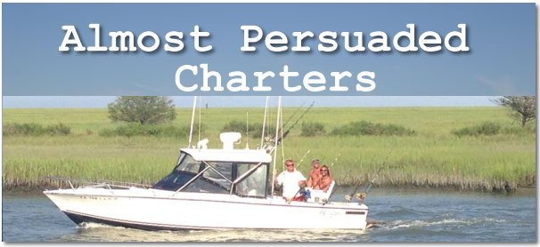
Deep Sea Offshore and Inshore Charter Fishing
|
CAPTAIN
PAUL'S WEATHER CENTER !
|
|
|
Bouy
Data Observations
National Data Buoy Center |
|
|
Master
National Data Buoy Center Map of SouthEast (select graphical bouy chart)
|
|
|
Individual
Bouy's
|
|
| 250 NM East of Charleston, SC | |
| HOTEL 200NM East of Cape May,NJ | |
| DELAWARE BAY | |
| VIRGINIA BEACH 64 NM East of Virginia Beach | |
| Chesapeake Light | |
| Diamond Shls Lt., NC | |
| CLKN7 | Cape Lookout, NC |
)
Media publishing and E Commerce via Information Technology.
All Rights Reserved
Information: Almost Persuaded Charters
 ®
®